Our Offering
Our Services
Asia Pacific Surveys is dedicated to providing high quality services to PNG and Queensland. Take a look below to find out what we specialize in, and get in touch with any additional questions or to learn more.
Engineering Surveys
- Detail and Topographic Surveys
- Bridge Site Surveys
- Engineering Setout for Construction (Roads, Airports, Pipelines and Buildings)
- Route Location and Proving Surveys
- Building and grid line surveys
- Airport Approach Surveys
- Airport Maintenance, Upgrading and Rehabilitation Surveys
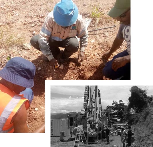
Mining, Oil and Gas Surveys
- Special Mining Lease, Mining Leases and Mineral Easements surveys
- Lease Applications (Form 17 Preparation and Lodgement)
- Open Cut and Underground Mining Surveys
- Mineral Feasibility Studies Surveys
- Mineral and Petroleum Exploration Surveys
- Mine Construction Survey, Supervision & Check Surveys
Utility Mapping Surveys
- Detect underground sewer pipes, water mains, gas pipes, electric cables and telecom cables
- Can be done as part of engineering surveys
Town Planning
- Town Planning Studies and Subdivision Design
- Town Planning Application and Negotiation
Mapping
- Aerial Photogrammetric and Satellite Mapping
- Feature Mapping and Database Preparation
- Digital Map Base and Digital Elevation Model Preparation
Cadastral Surveys
- Lease and Easement Surveys
- Customary Land Surveys and Landowner Boundary Determination
- Boundary Identification and Remarking
- Subdivision, Amalgamation and Resumption
Drone Surveys
- UAV Aerial surveying and mapping - photogrammetry
- Aerial photography and real time video inspections
GPS Surveys
- GPS Control Networks
- Photogrammetric Control
- Investigation and route surveys
- GIS/Mapping data collection
Hydrographic / Bathymetric Surveys
- Determine depth of bed
- Determine shoreline
- Locate Meal Sea Level (MSL)
Computing
- Surveying and Engineering Calculations
- Computer Drafting
- Magnet, Civilcad, TerraModel, AutoCAD, QGIS, ArcMAP, MapInfo and AGISOFT Photogrammetry software
Geographic Information Systems
- Base Map Preparation, Data Scanning, Vectorisation and Cleaning
- Data Collection, Input, Analysis, Manipulation, Maintenance and Presentation.
- System Overviews and Installation
